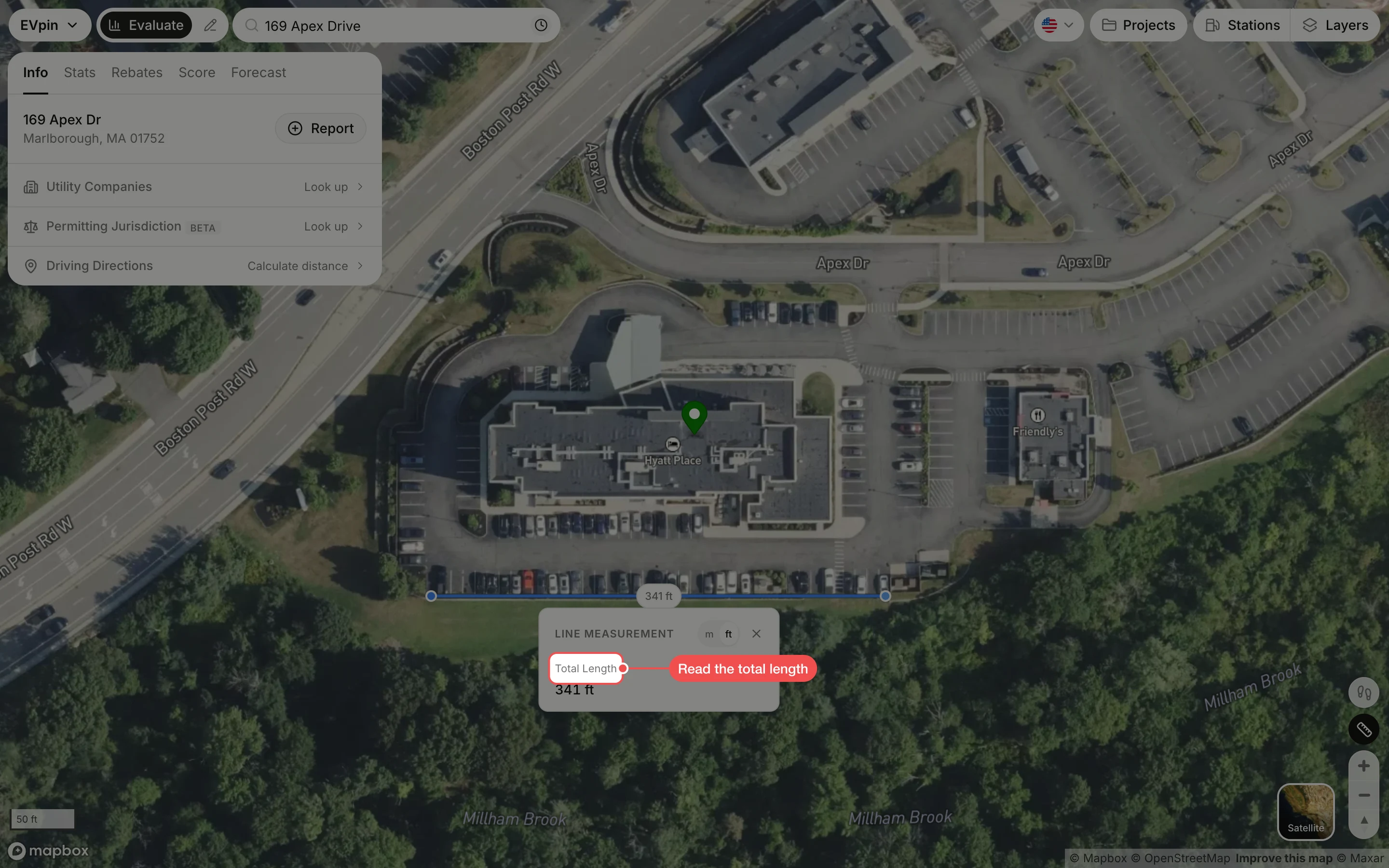
How to measure a distance on the Evaluate map
Right-click the Evaluate map to measure the length of a parking row, a frontage or any other straight run.
By the end you will have the length of a run on the site, here the row of parking along the south edge of the lot. You need the site open on the Evaluate map, as in How to look up an address on the Evaluate map. Zoom in and switch to Satellite first so you can see the stalls (How to change the map style on the Evaluate map).
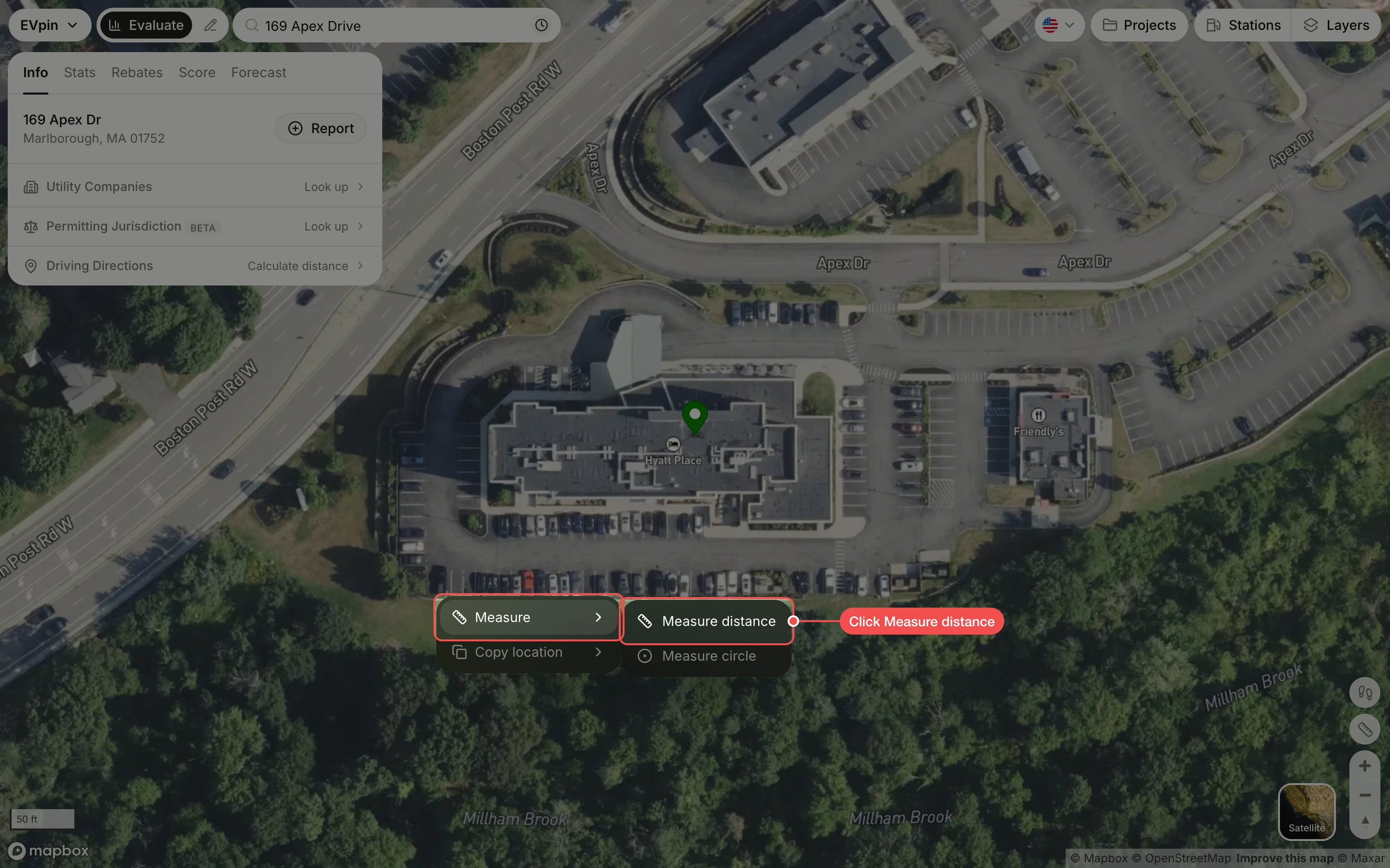
Right-click the start point
Right-click where the measurement starts, point at Measure and click Measure distance.
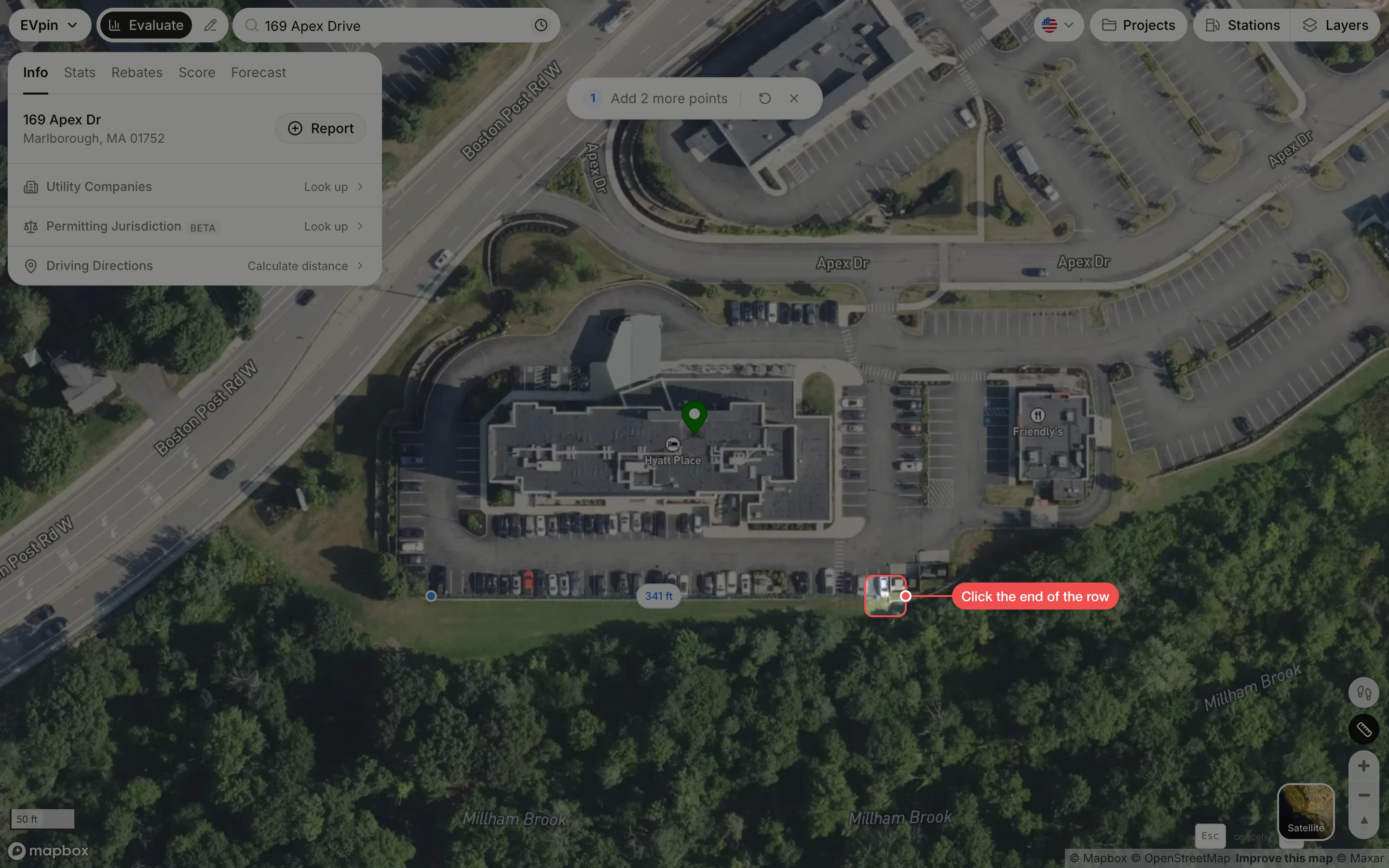
Click the end point
Click where the measurement ends. The line follows the pointer and shows its length as you move.
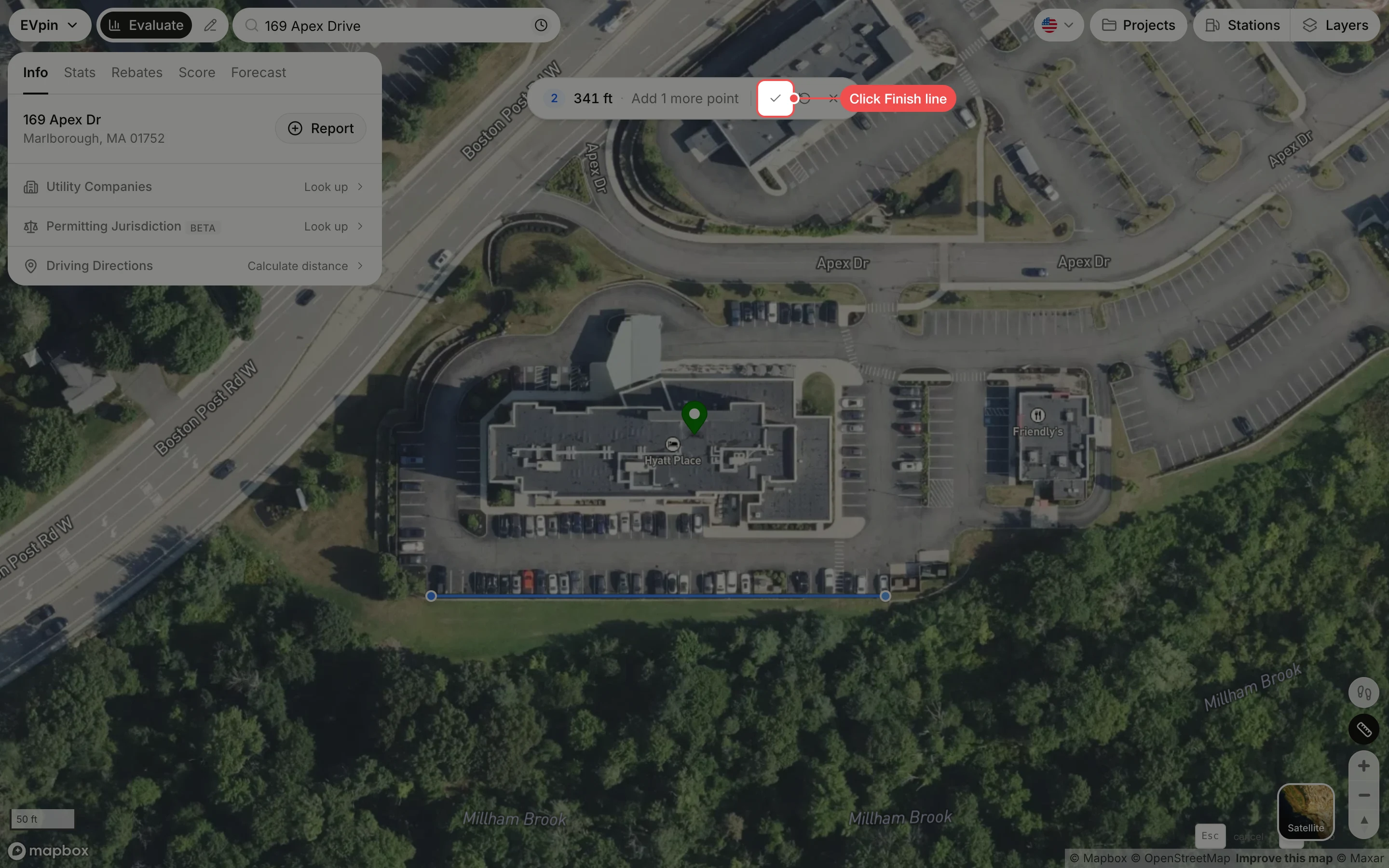
Finish the line
Click Finish line, the tick in the bar at the top of the map. To keep going instead, click more points; closing the shape on the first point measures an area.
Read the length
The Line Measurement card shows the Total Length. Click m or ft to switch units, and × to clear the measurement.