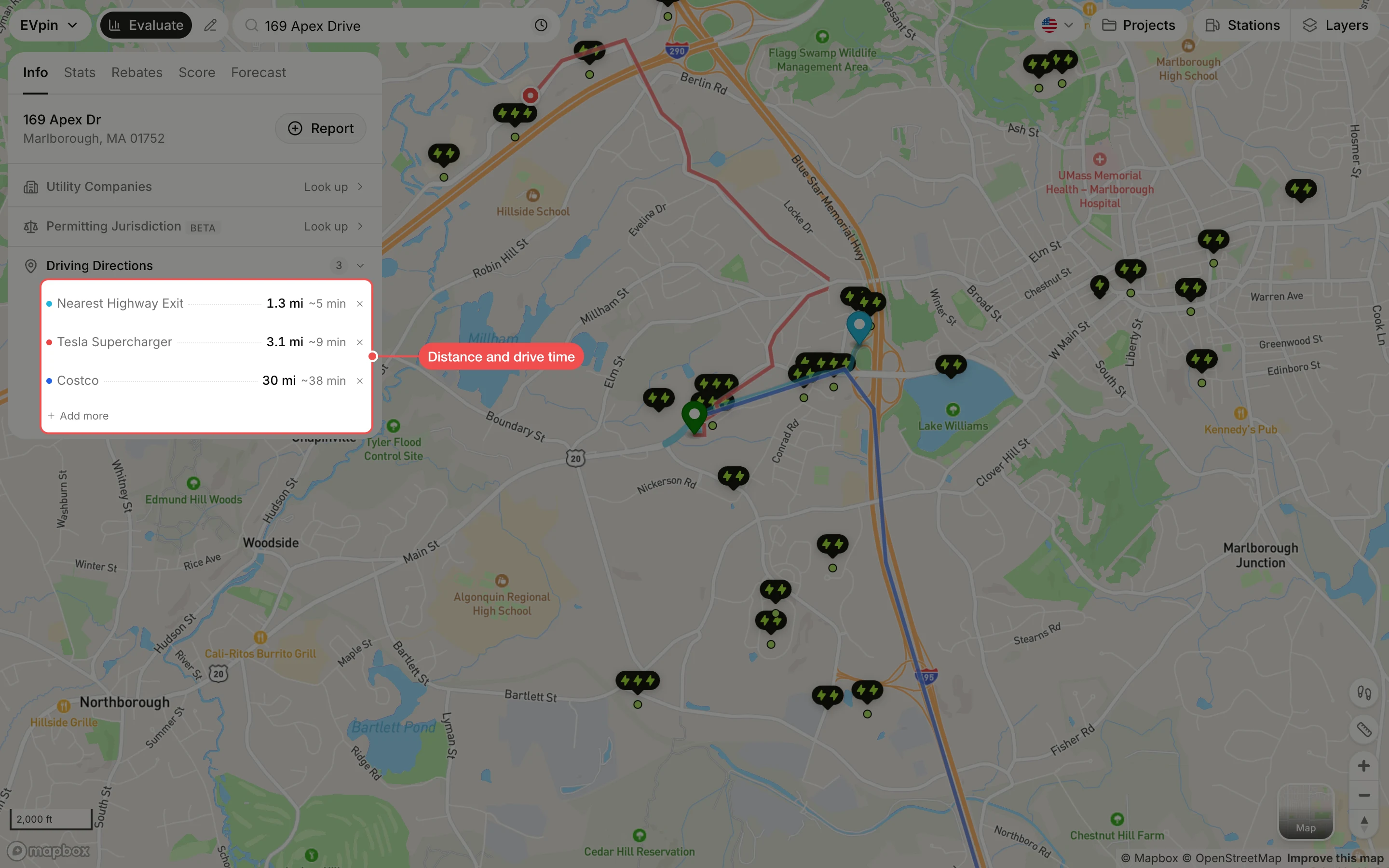
How to find the driving distance from a site to nearby places
Measure the drive from a site to the nearest highway exit, charging networks and retailers from the Evaluate map's Info tab.
Drivers pick charging stops close to the highway and near places they already go. By the end you will know how far, and how many minutes, the site is by road from the nearest highway exit, rival charging networks and big retailers. Start with the address open on the Evaluate map, as in How to look up an address on the Evaluate map.
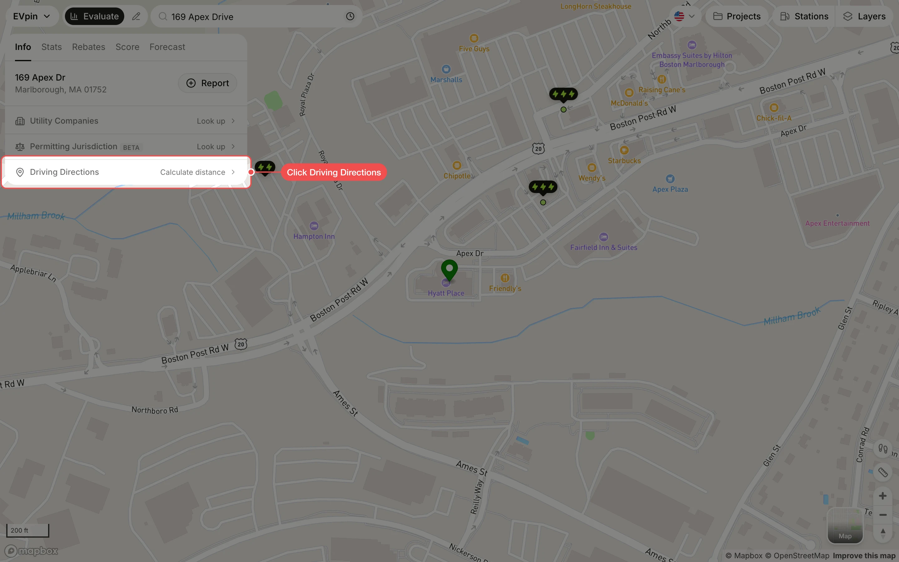
Open Driving Directions
On the site panel's Info tab, click Driving Directions. A list of places opens below it.
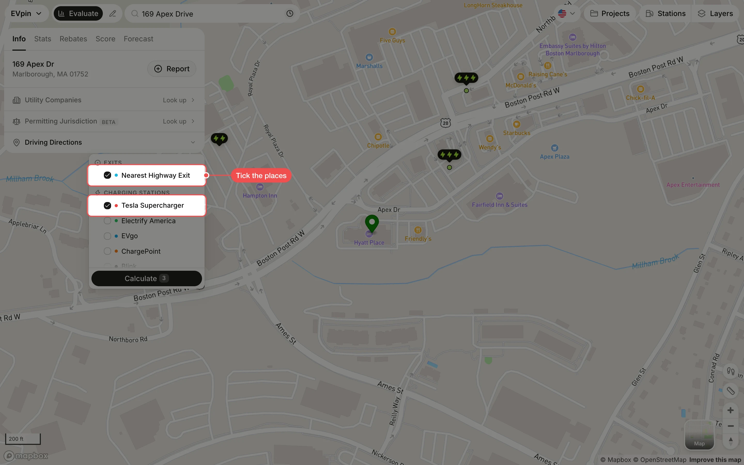
Tick the places
Tick each place to measure. Exits has Nearest Highway Exit, Charging Stations lists networks such as Tesla Supercharger and Electrify America, and Retailers lists stores such as Costco, Target and Walmart. Scroll the list to see them all.
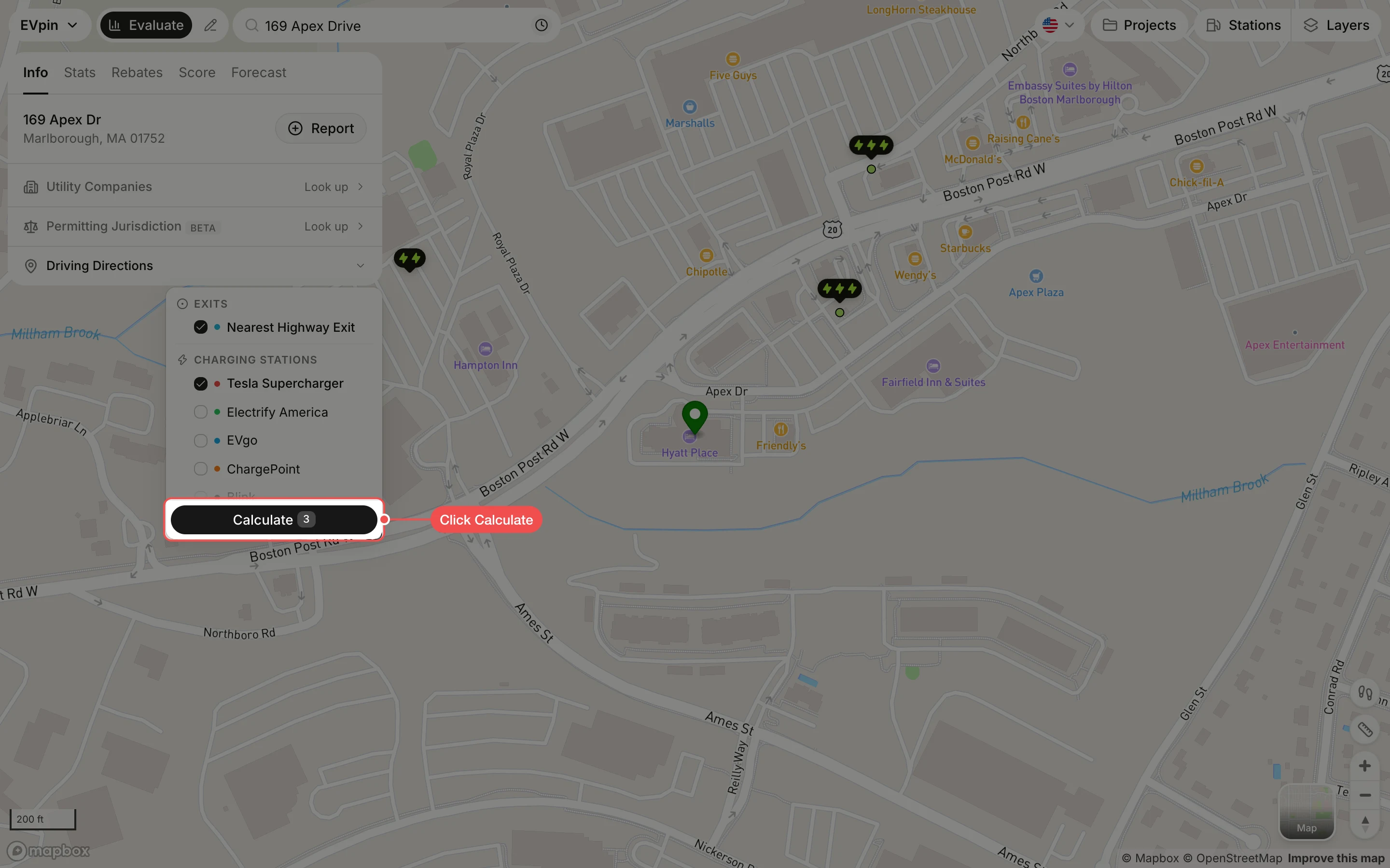
Click Calculate
Click Calculate at the bottom of the list. The number on it is how many places you ticked.
Read the distances
Each place is listed with its driving distance and drive time, and its route is drawn on the map in the same color as its dot. Click × next to a place to remove it, or Add more to measure another.