How to see parcel lines around a site
Outline property parcels on the Evaluate map, open a parcel's owner and size, and show the same lines on the Design page.
By the end you will see where a site's property lines run and who owns the parcel. Start with the address open on the Evaluate map, as in How to look up an address on the Evaluate map.
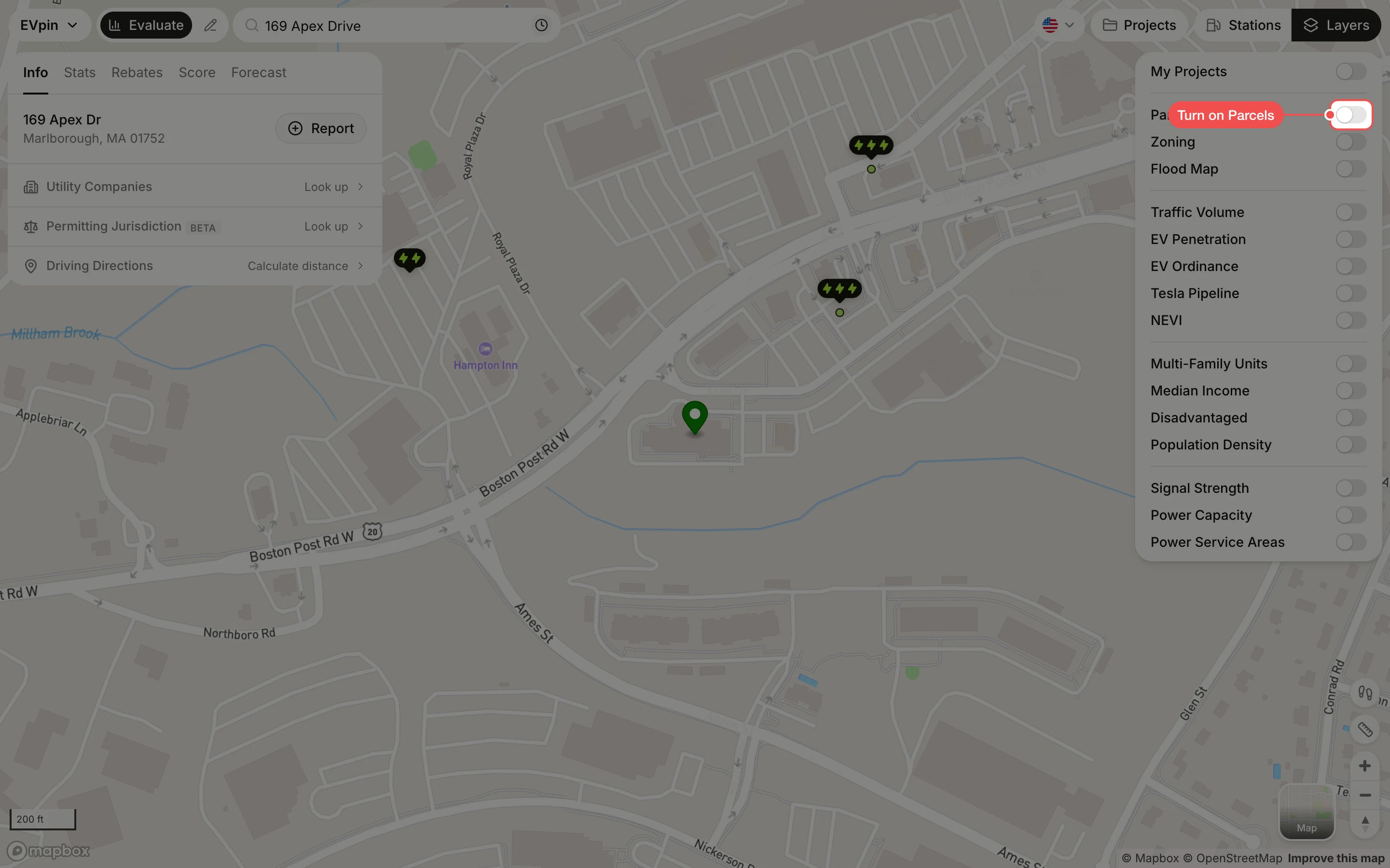
Turn on Parcels
In the Layers panel at the top right, turn on Parcels. Parcel outlines appear in orange. Zoom in if they don't show; they are hidden when the map is zoomed far out.
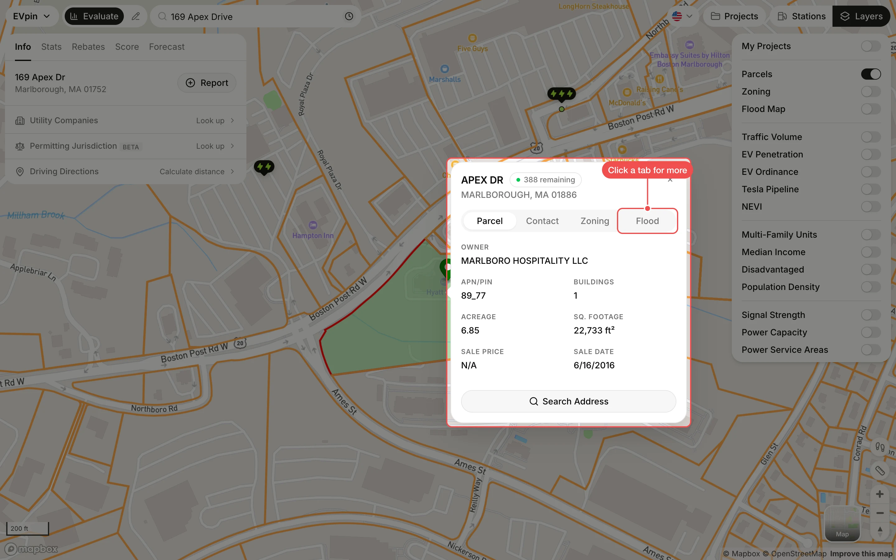
Click the site's parcel
Click inside the site's outline. The parcel turns green and a popup shows the owner, APN, number of buildings, acreage, square footage and last sale. Click Zoning or Flood in the popup for the parcel's zone and FEMA flood zone.
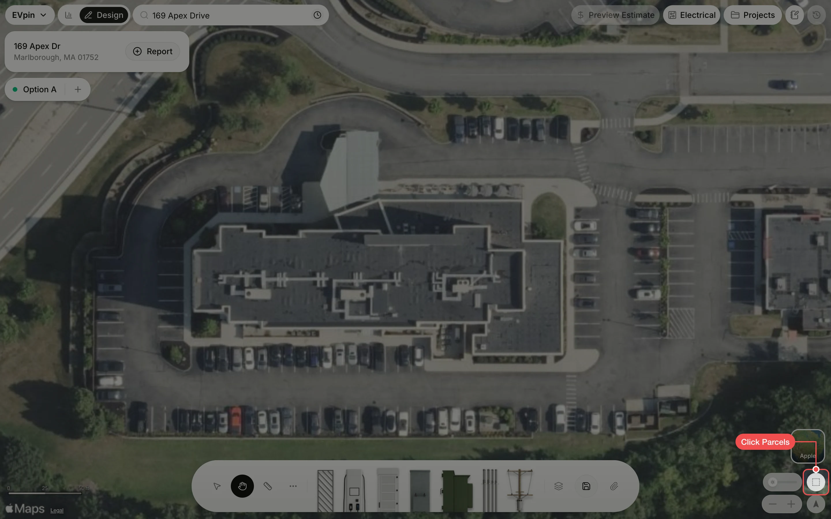
Show parcels on the Design page
On the Design page, click the Parcels button at the bottom right of the map to draw the same property lines over the satellite image while you lay out equipment. Click it again to hide them.
What's next
- How to find a parcel's owner contacts once you know who owns the site.