How to see NEVI corridors near a site
Draw the federal NEVI alternative fuel corridors on the Evaluate map to check whether a site is on one.
By the end you will see whether a site sits on a NEVI corridor, the highways designated for federally funded fast charging. Start with the address open on the Evaluate map, as in How to look up an address on the Evaluate map.
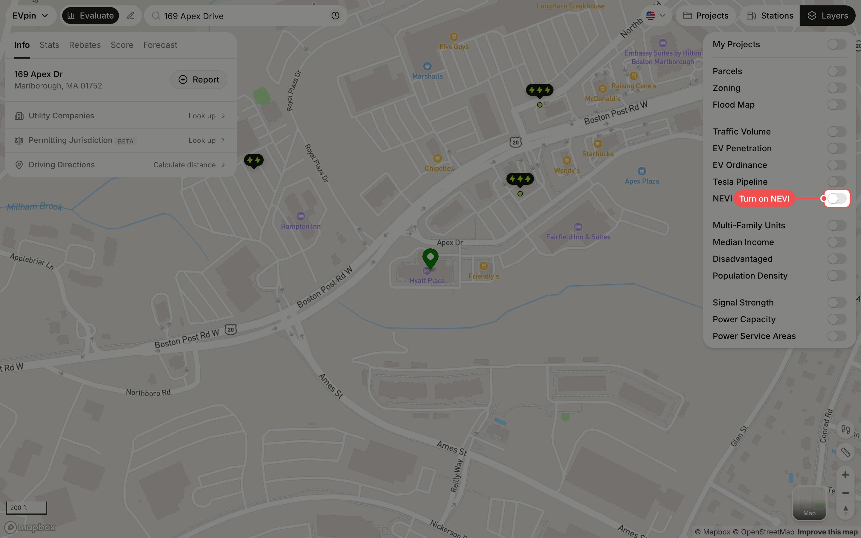
Turn on NEVI
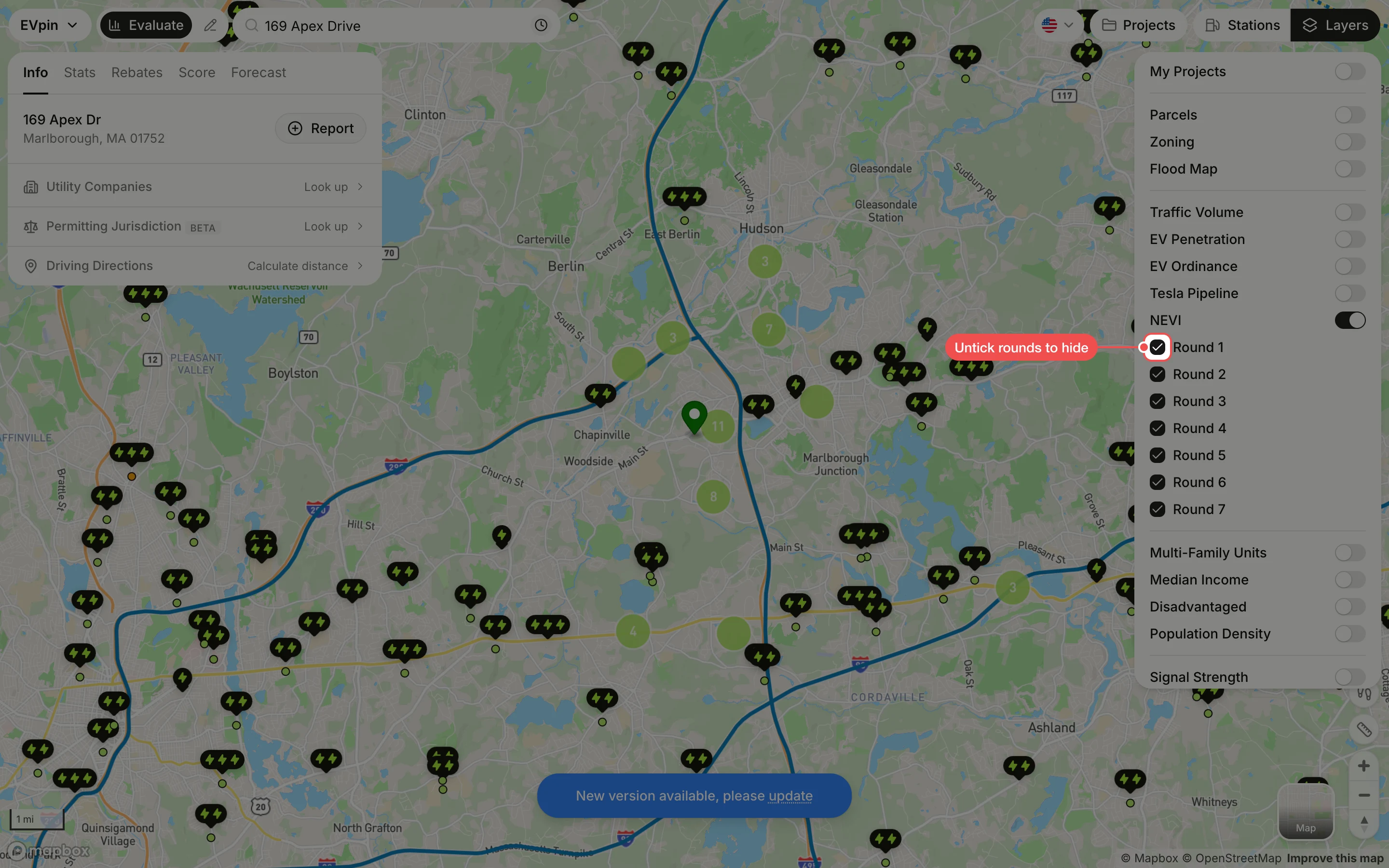
In the Layers panel at the top right, turn on NEVI. The corridors are drawn as blue lines along the highways. Zoom out a few steps to see where they run near the site; they are hidden when the map shows the whole country.
Untick the rounds you don't need
Corridors were designated in rounds. Untick a round to hide its corridors, or hover a round and click only to show just that one.
What's next
- How to find the rebates a site qualifies for, including NEVI funding.