How to check income and population around a site
Shade the Evaluate map by median household income and by population density, and read the values for the site's area.
By the end you will know the median income of the site's ZIP code and how many people live around it. Start with the address open on the Evaluate map, as in How to look up an address on the Evaluate map.
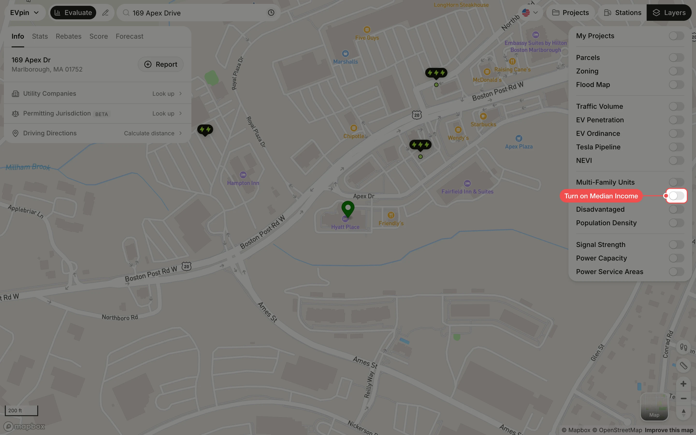
Turn on Median Income
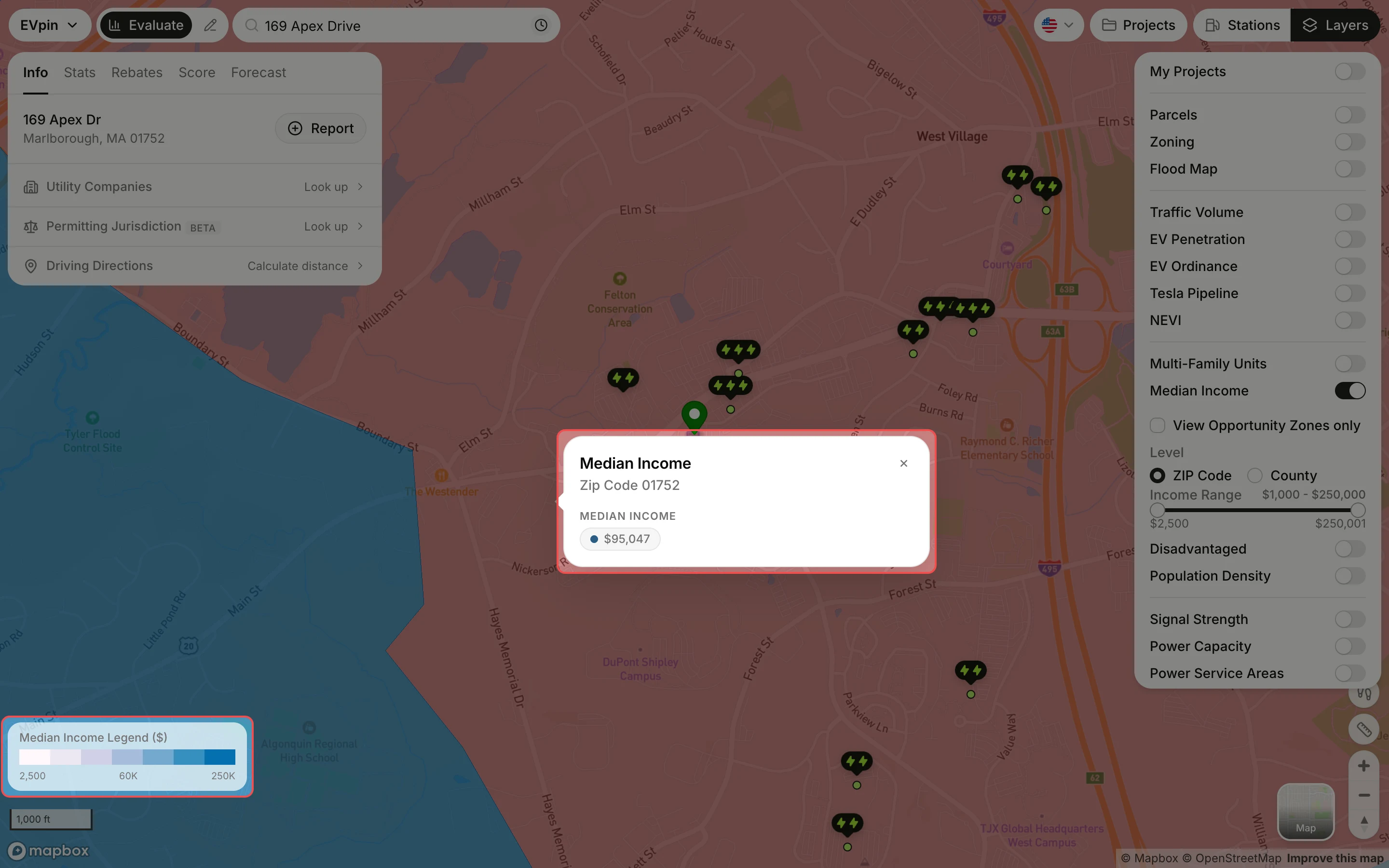
In the Layers panel at the top right, turn on Median Income. Areas are shaded from light (lower income) to dark blue (higher income), with the legend at the bottom left. Click County under Level for larger areas, drag the Income Range handles to shade only areas within a range, or tick View Opportunity Zones only.
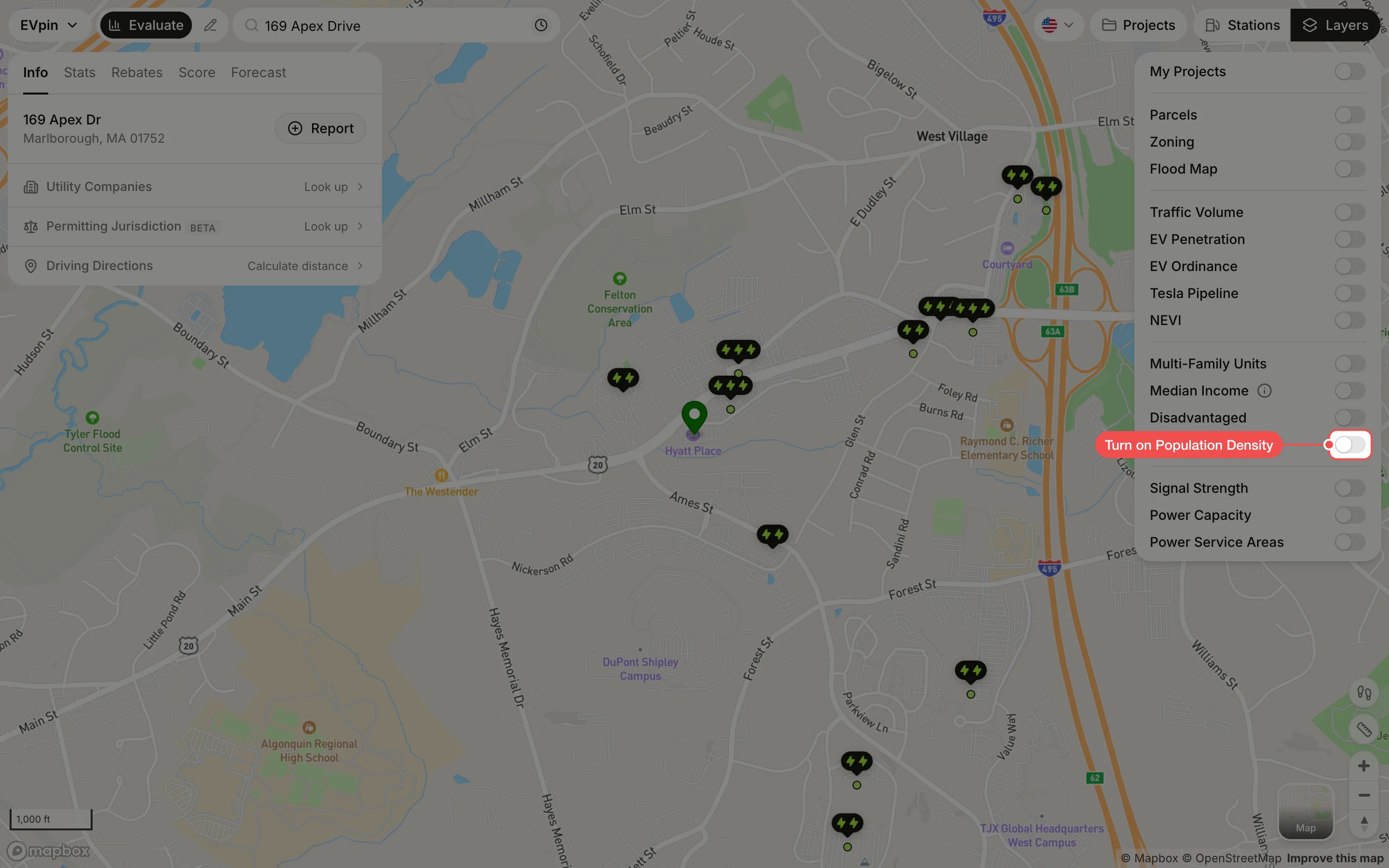
Turn on Population Density
Turn off Median Income, then turn on Population Density. The map is split into hexagons shaded by how many people live in each.
Click a hexagon
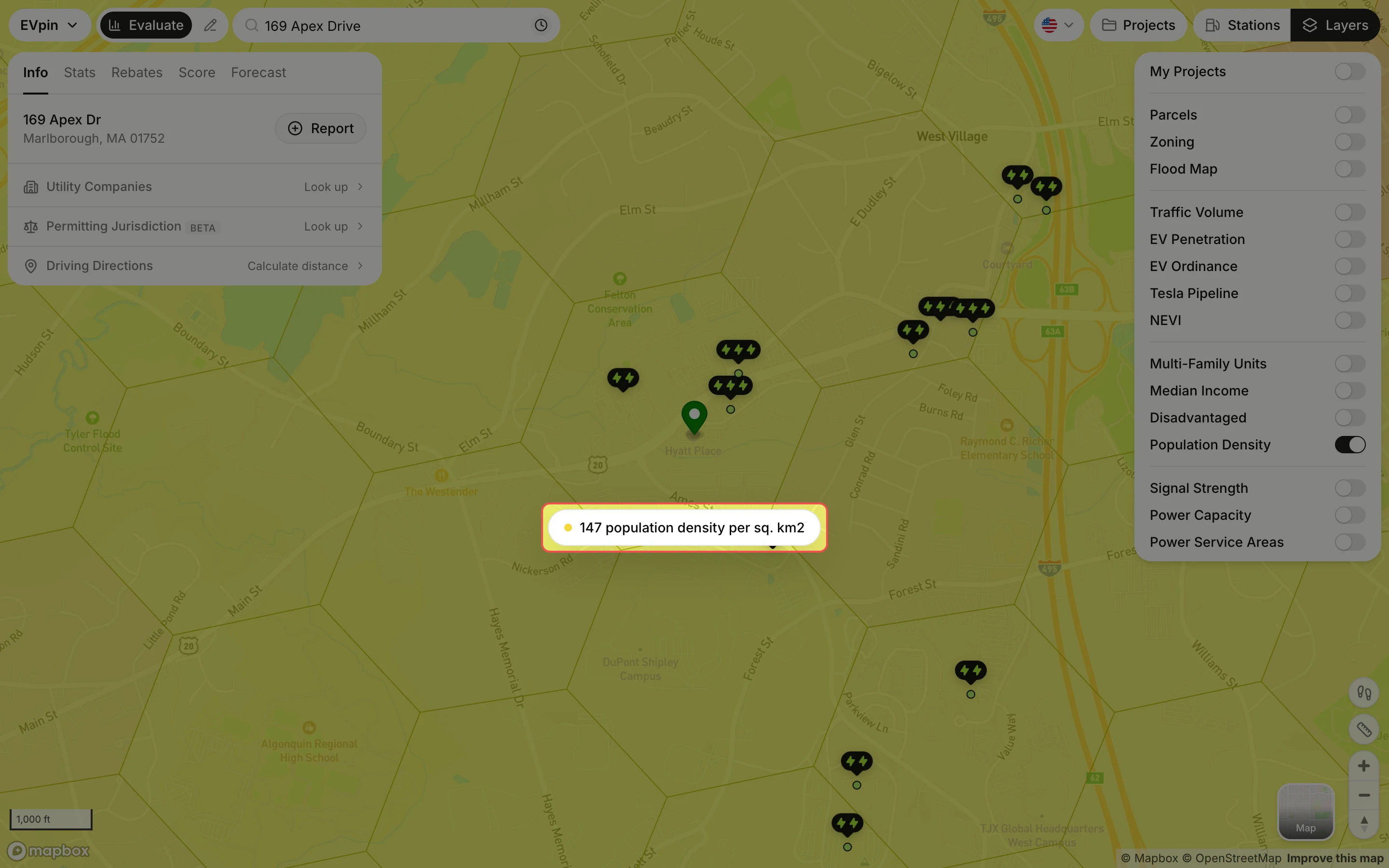
Click the hexagon around the site. A label shows its population per square kilometer.