How to check grid capacity near a site
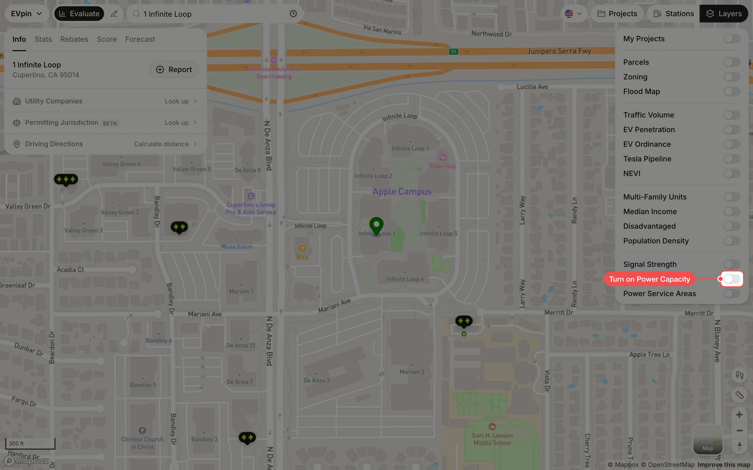
Color nearby power lines by the capacity the utility reports as available and read a circuit's kW, where the data exists.
By the end you will know how much power the circuits near a site can take before upgrades, which is a first check for fast chargers. Start with the address open on the Evaluate map, as in How to look up an address on the Evaluate map.
Power Capacity has limited access and is not available nationwide. It needs a Pro plan and only covers select areas of California and New York, using data published by the utilities.
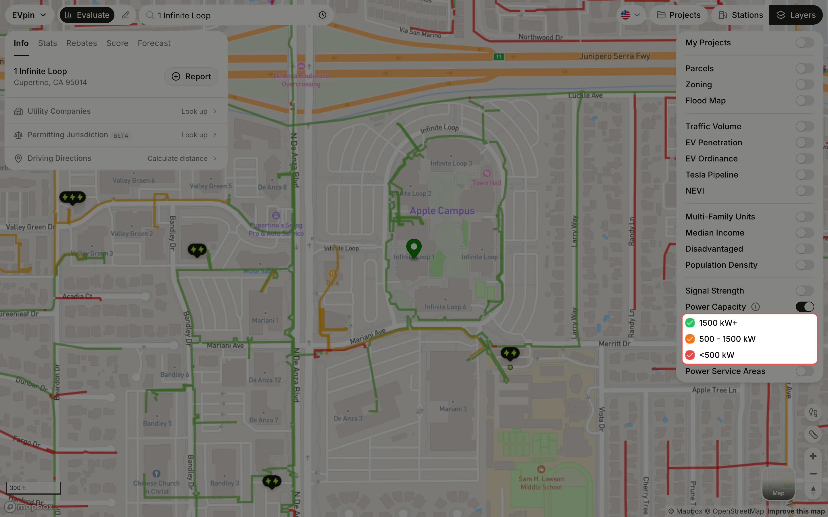
Read the line colors
Circuits are drawn along the streets: green for 1500 kW+ available, orange for 500 - 1500 kW and red for <500 kW. Untick a range to hide those circuits.
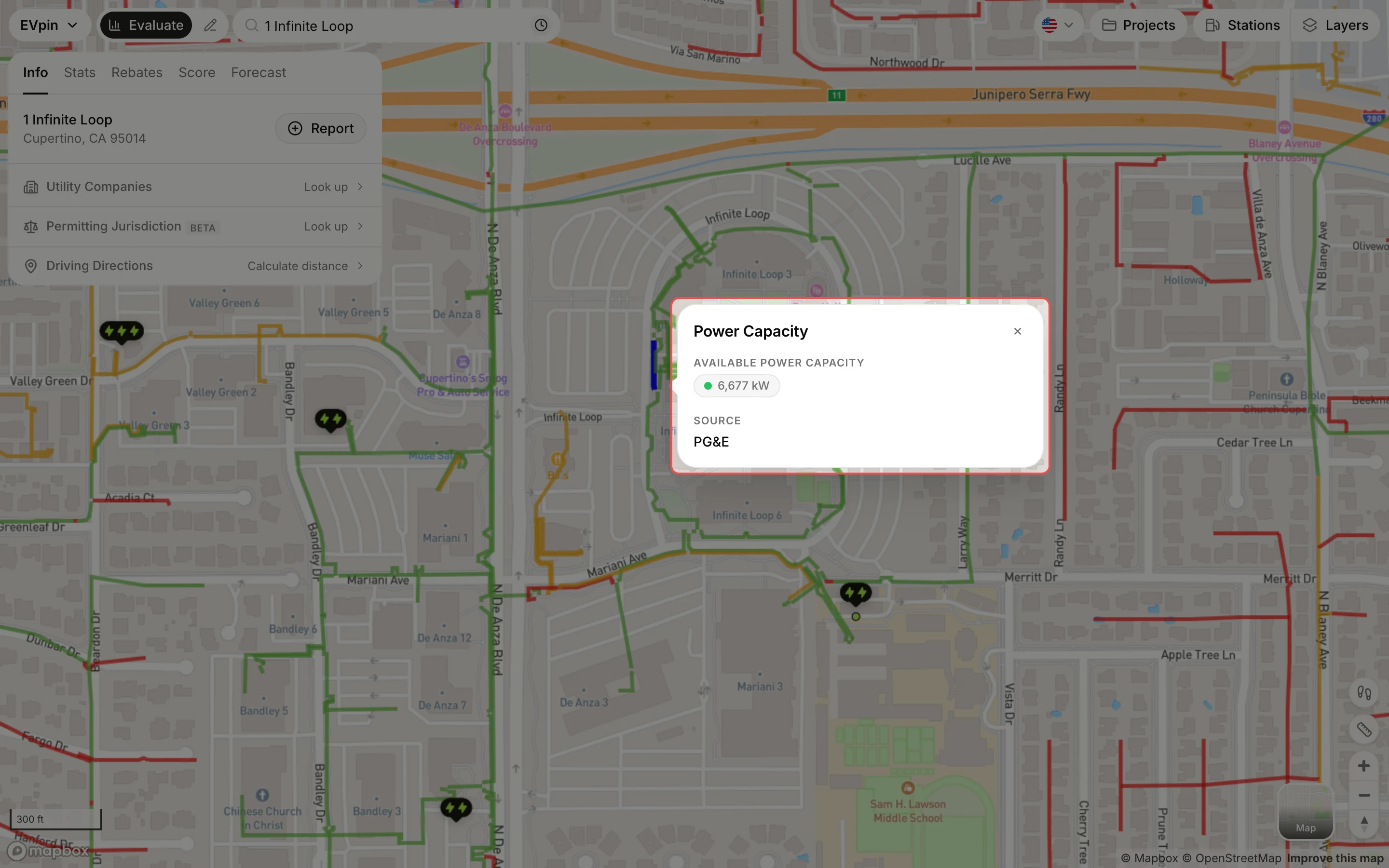
Click the circuit next to the site
Click the line closest to where the chargers will go. The circuit turns blue and a popup shows its available capacity in kW and the utility that reported it.
What's next
- How to find the utility that serves a site to request service.