How to check flood risk around a site
Draw FEMA flood zones on the Evaluate map and read the flood zone of the site's parcel.
By the end you will know the site's FEMA flood zone, which matters for where equipment can sit. Start with the address open on the Evaluate map, as in How to look up an address on the Evaluate map. Flood data covers the US.
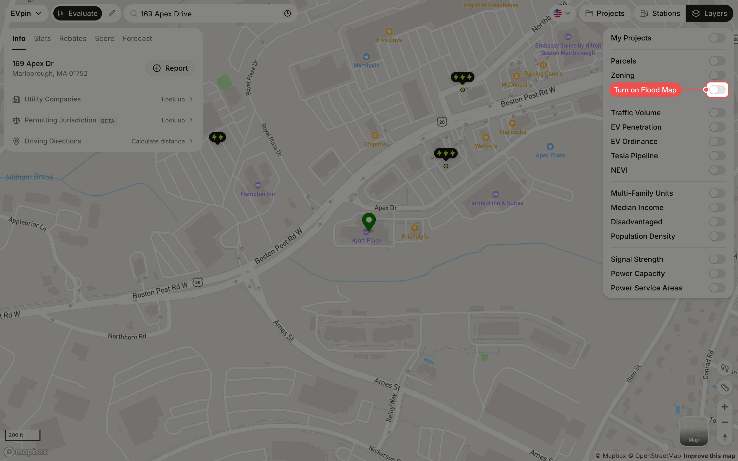
Turn on Flood Map
In the Layers panel at the top right, turn on Flood Map. FEMA's flood map is drawn over the area, so you can see whether streams or low ground near the site fall in a flood zone.
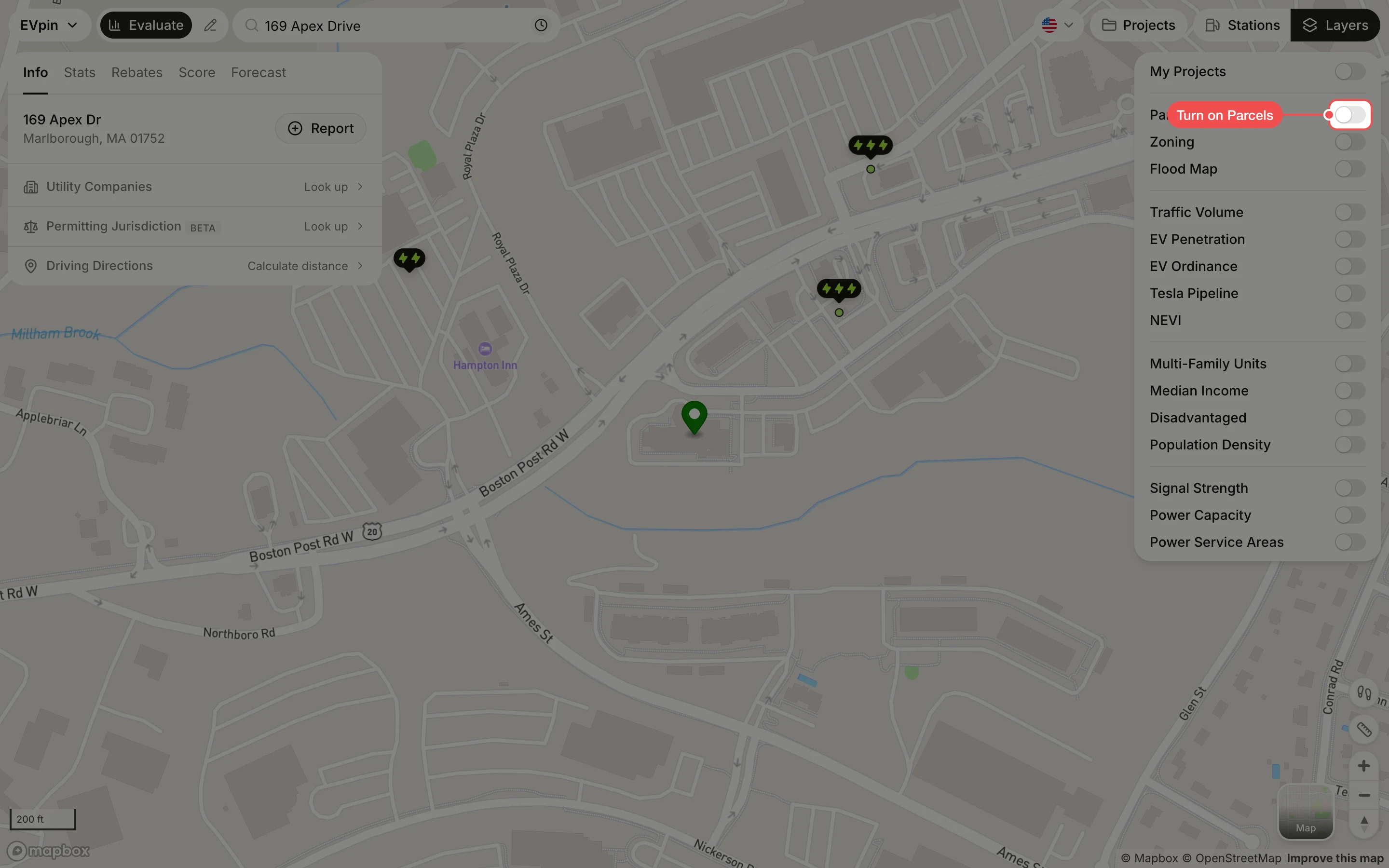
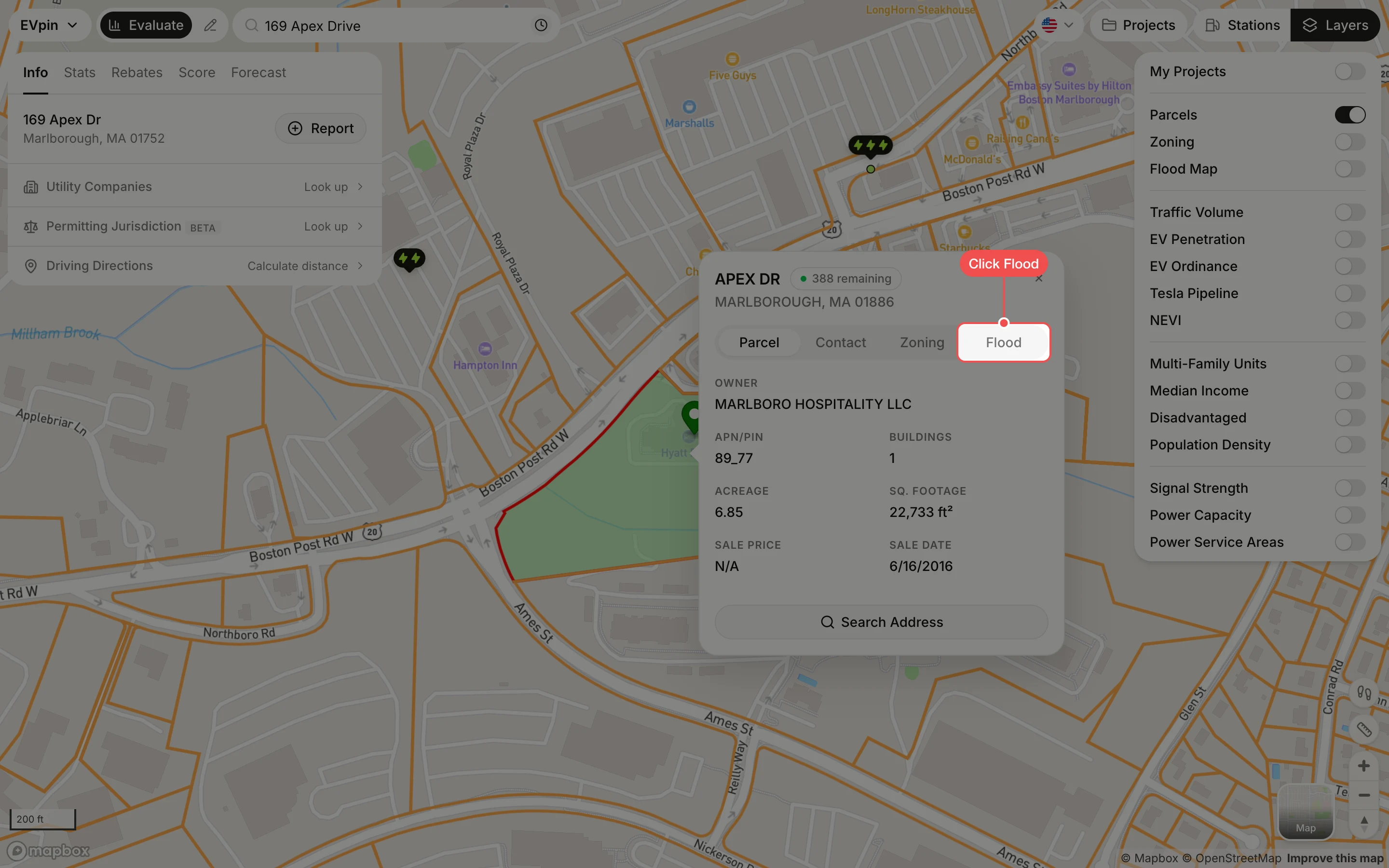
Read the flood zone
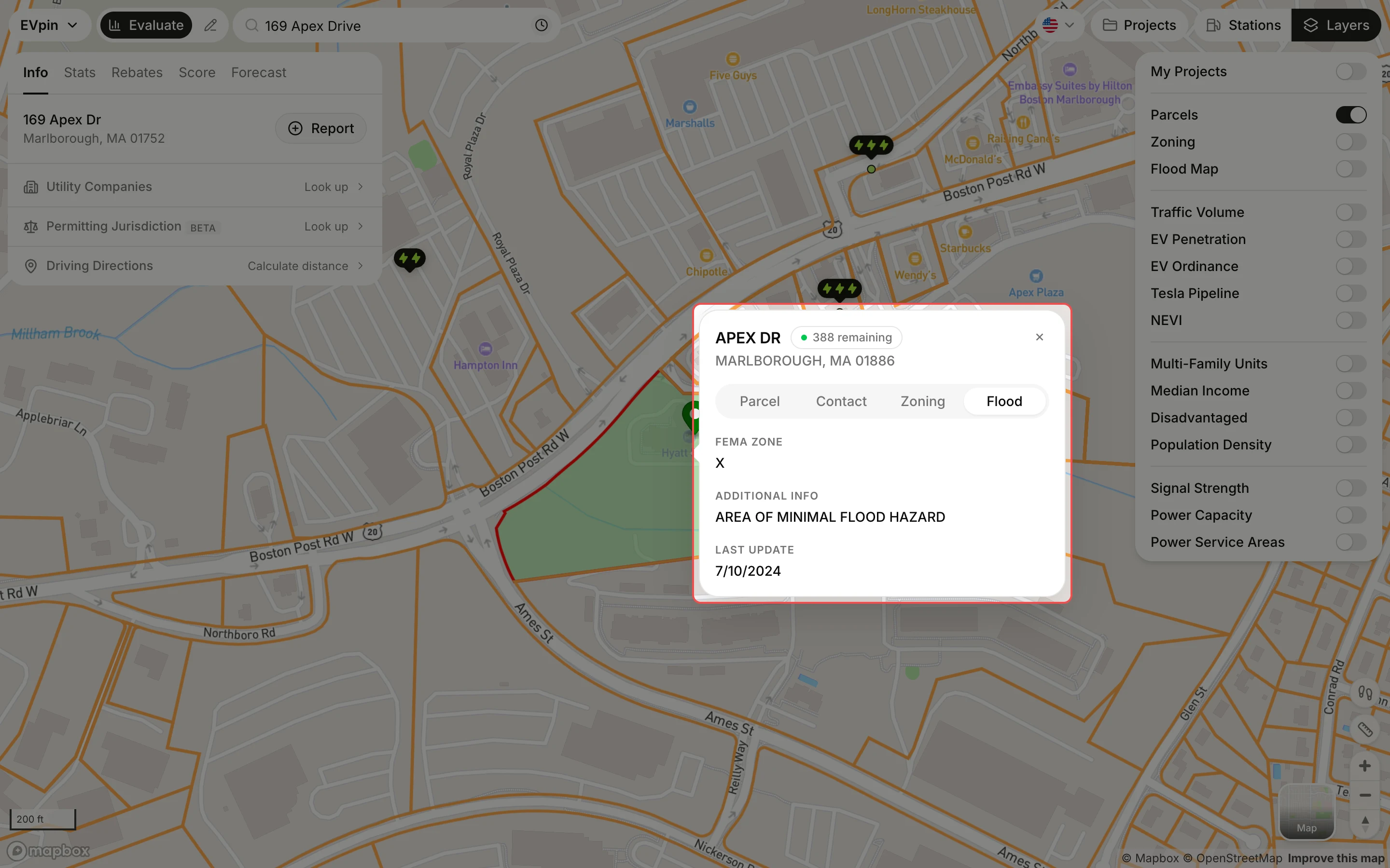
The tab shows the FEMA Zone, what it means and when FEMA last updated it. Zone X, as here, is an area of minimal flood hazard; zones starting with A or V are high-risk.
What's next
- How to check a site's zoning for setbacks and permitted uses.