How to check a site's zoning
Color the map by zoning district and open a zone to see its code, permitted uses and setbacks.
By the end you will know which zoning district a site is in and what that district allows. Start with the address open on the Evaluate map, as in How to look up an address on the Evaluate map. Zoning needs a Pro plan and covers most major cities.
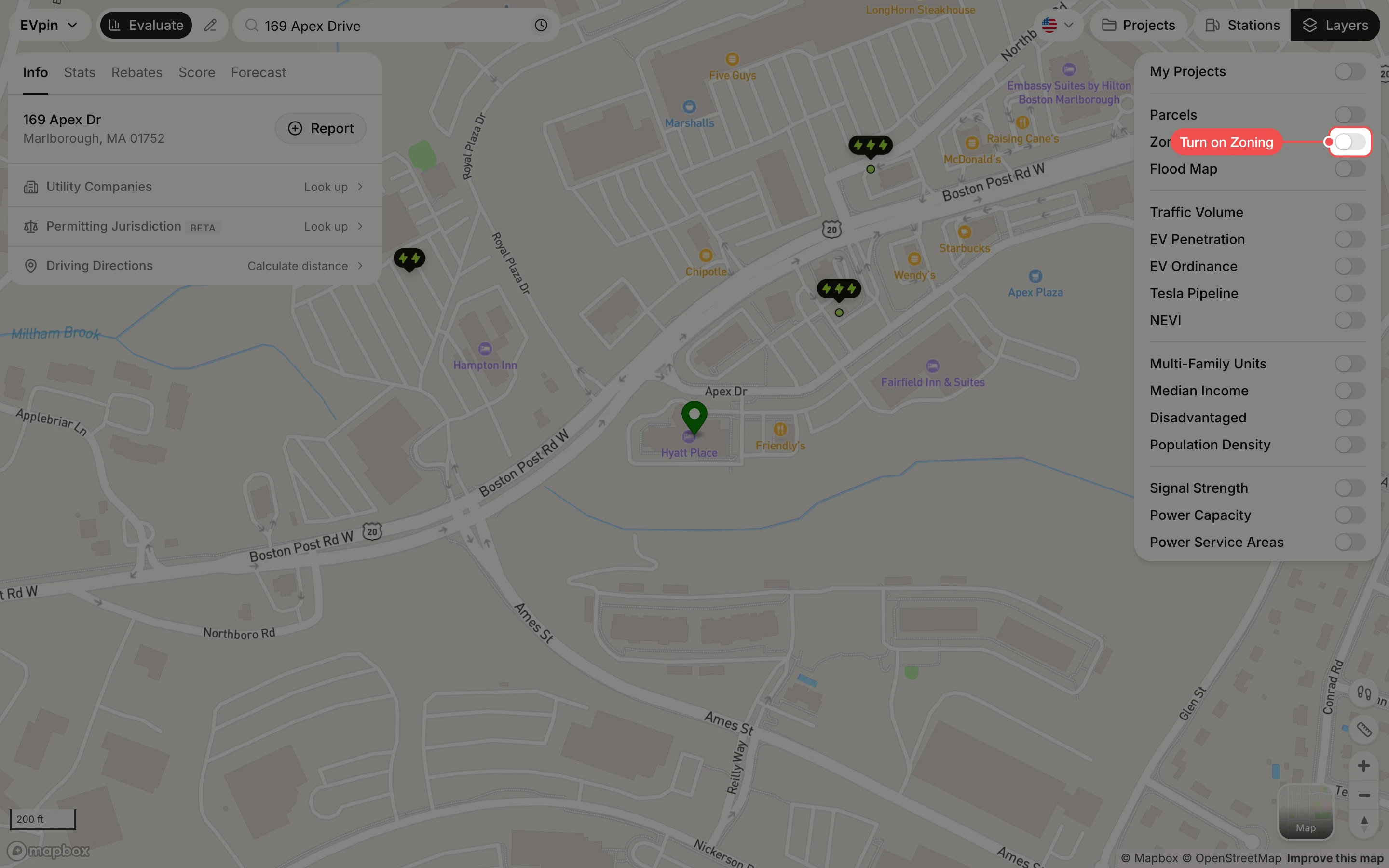
Turn on Zoning
In the Layers panel at the top right, turn on Zoning. The map is colored by zone type, with a legend under the toggle.
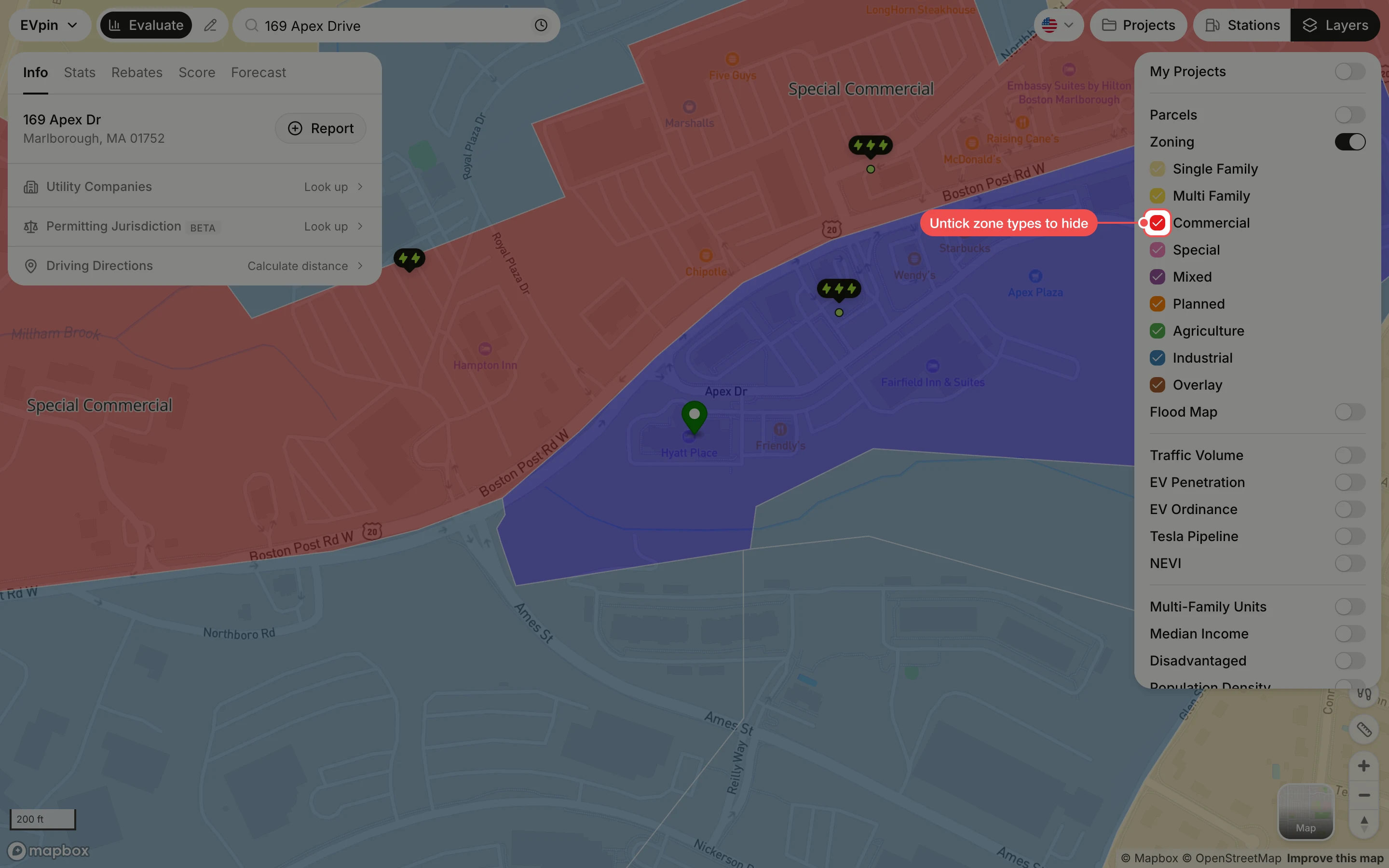
Untick the zone types you don't need
Untick a zone type to hide it, or click only next to a type to show just that one.
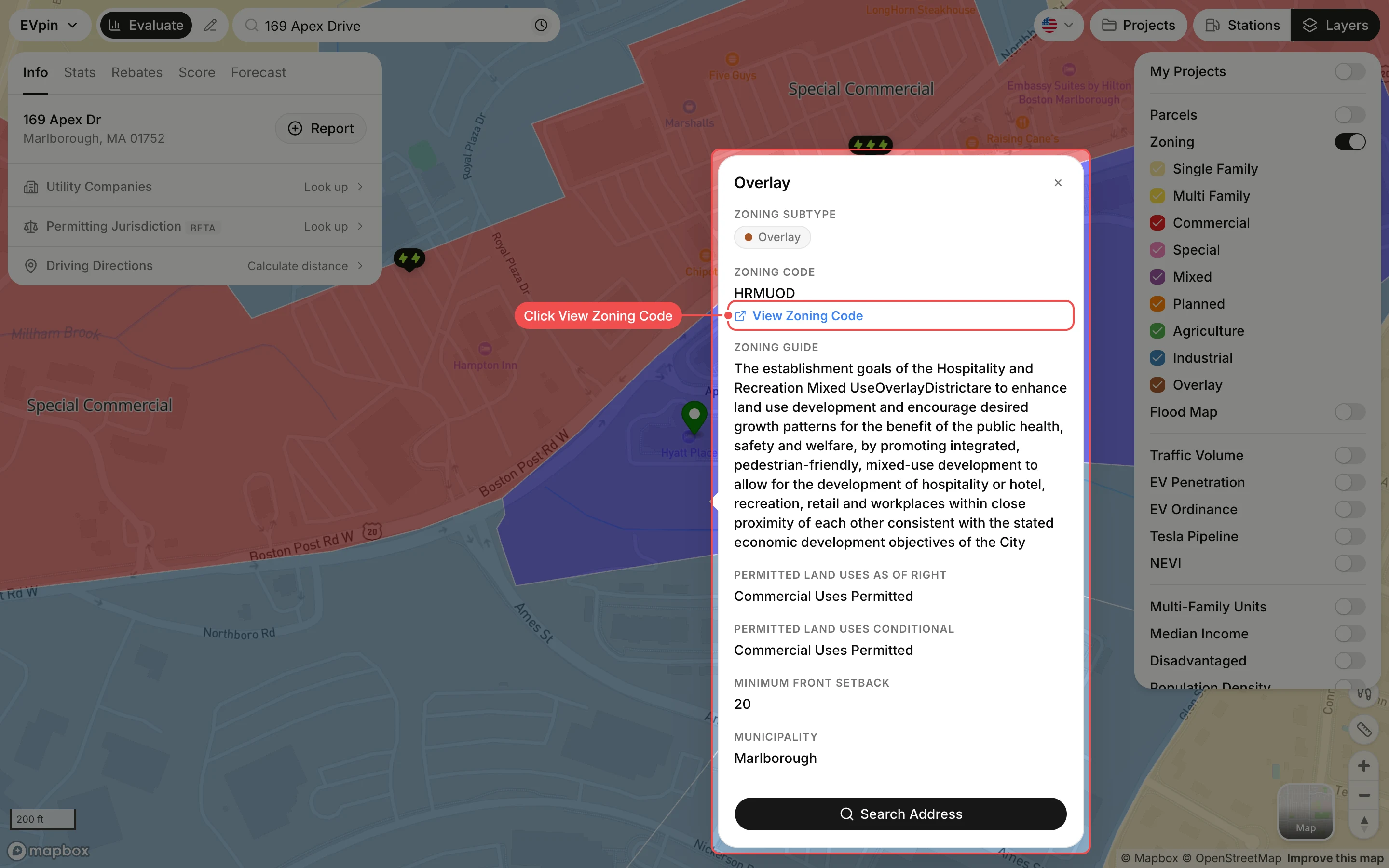
Click the site's zone
Click the zone under the site's pin. A popup shows the zone type, zoning code, a summary of the district, the land uses permitted as of right and with conditions, the minimum setbacks and the municipality. Click View Zoning Code to read the full ordinance.
What's next
- How to see parcel lines around a site to check who owns the land.