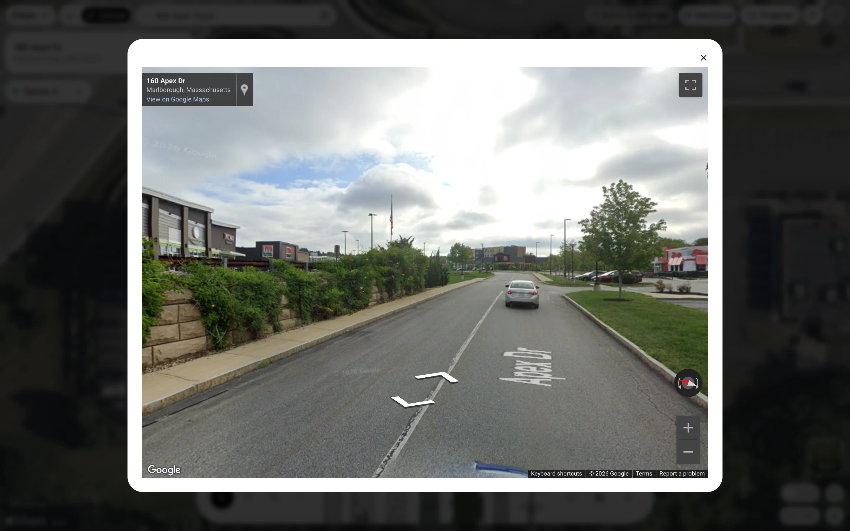
How to open Street View on the Design page
Right-click the map on the Design page to see the nearest street-level photo of that spot.
By the end you will be looking at a street-level photo next to the spot you right-clicked, which helps you check curbs, poles and walls before you place equipment. You need a design open with the address picked.
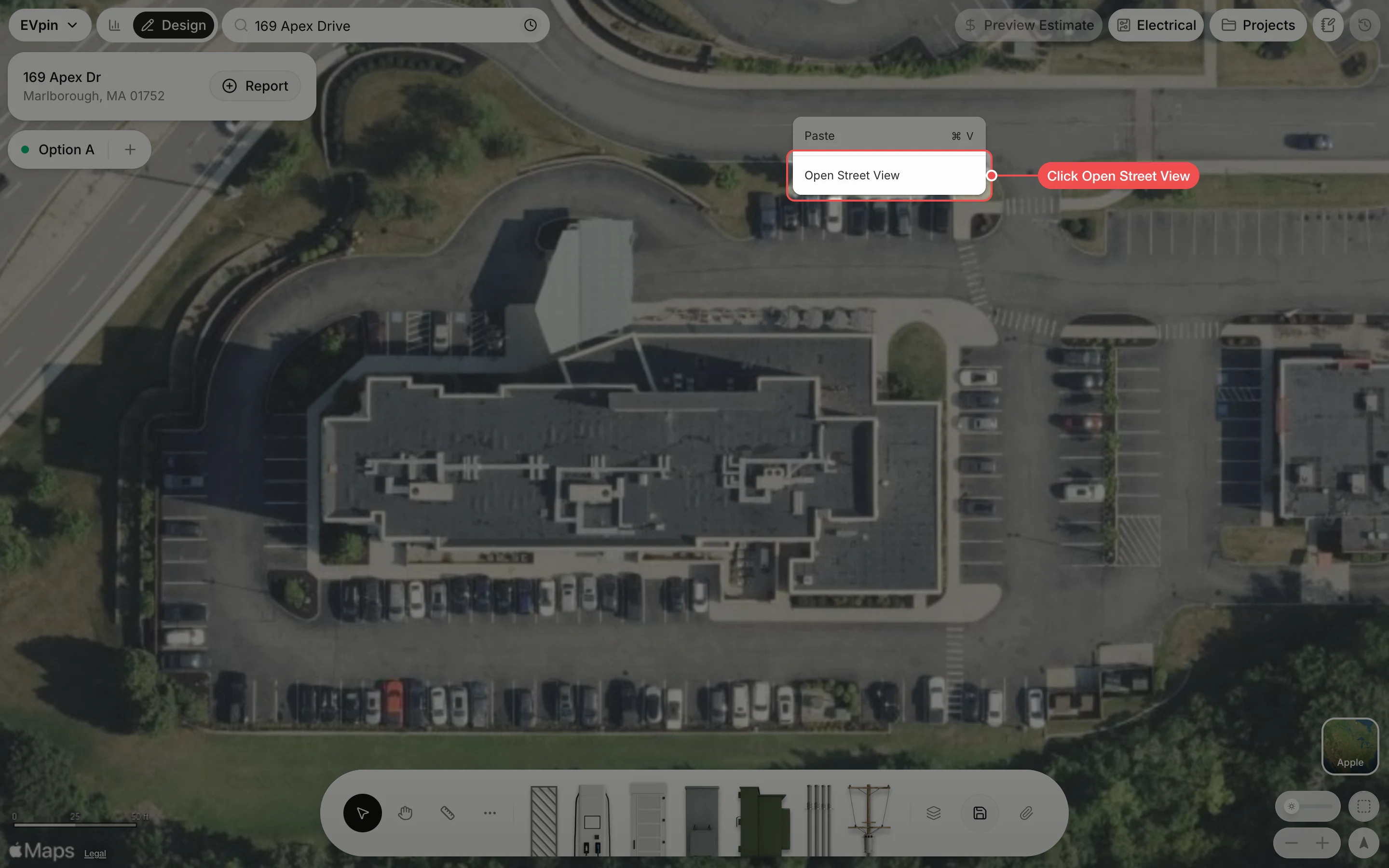
Right-click the map
Right-click the map near the spot you want to see, away from any shapes, and click Open Street View.
Look around
The Street View window opens at the nearest photo. Drag the photo to turn, click the arrows on the road to move along it, and click × to close the window.